Surveying + Mapping
Skills beyond measure.
Leading with innovation and backed by experience, CobbFendley provides land surveying solutions with a focus on safety, precise data collection, unique field-to-office procedures, and swift response time.
Contact Us
Surveying + Mapping Services
CobbFendley’s comprehensive survey solutions span a multitude of survey types, including boundary, topographic, engineering design, and utility surveys. What sets us apart is our commitment to staying at the forefront of innovation.
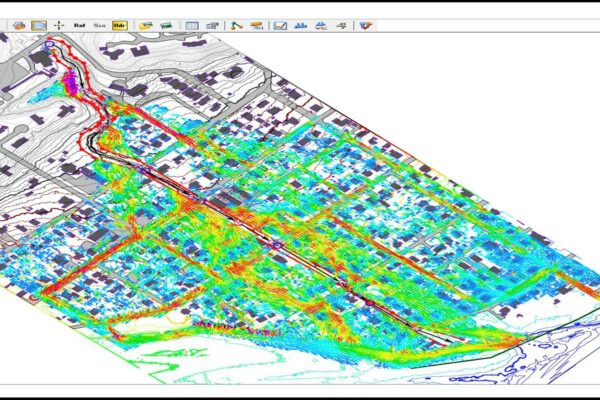
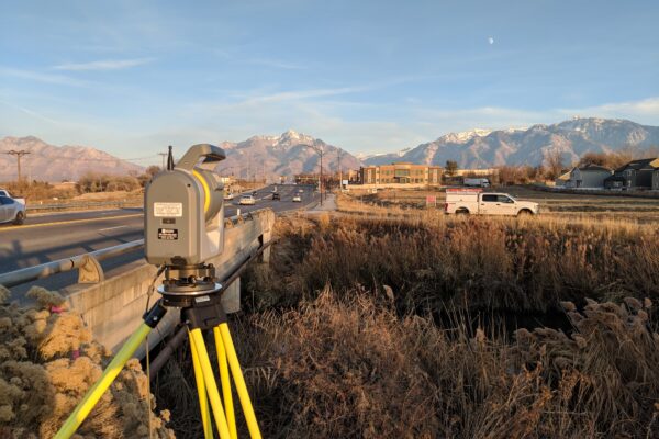
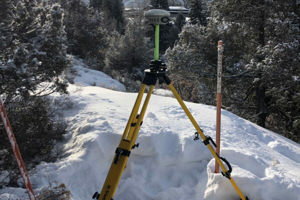
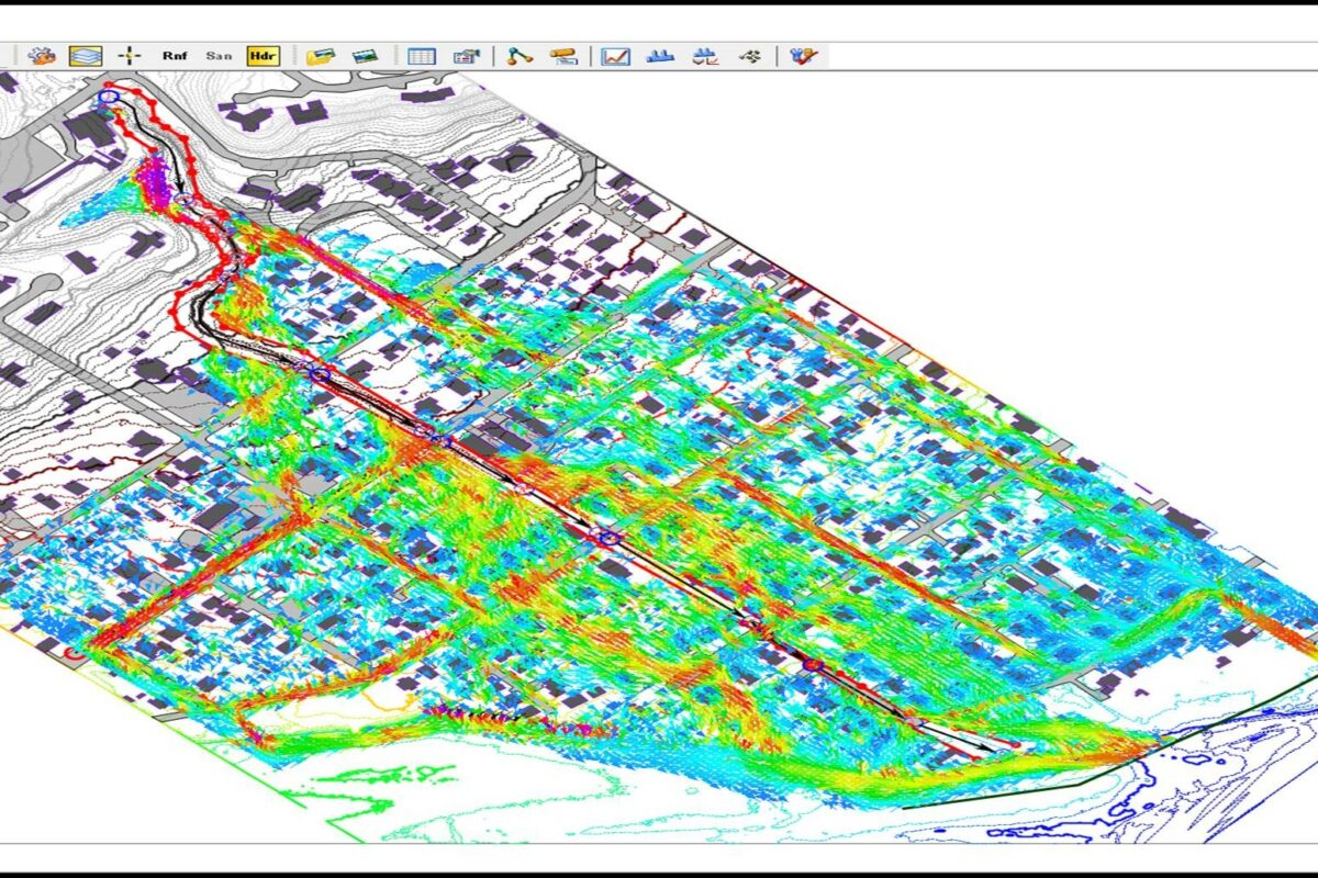
Our team of experts includes licensed professional surveyors and dedicated survey technicians whose combined experience and capabilities allow us to consistently deliver quality projects to both public and private entities. Our services extend across the entire United States, and we take our responsibility to enhance the safety and well-being of communities seriously. We employ cutting-edge survey technology such as aerial photogrammetry, real-time kinematic (RTK) GPS, and 3D scanning to deliver cost-effective and precise solutions to our clients.
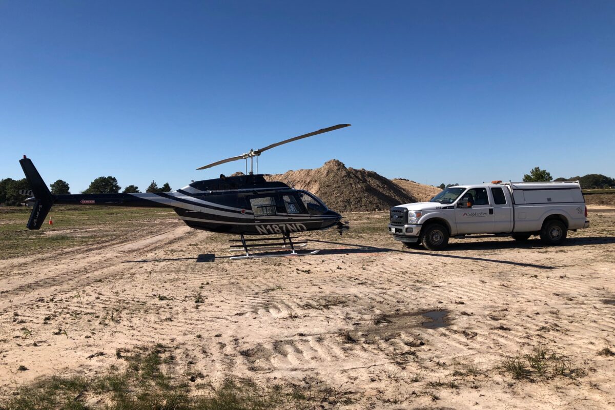
CobbFendley’s innovative UAV (Unmanned Aerial Vehicle) services exemplify our commitment to efficiency and precision. These services provide high-resolution imagery that facilitates real-time evaluation, enabling engineering teams to make informed decisions and prioritize their approaches to specific project challenges. By taking the guesswork out of managing critical field assets, we empower our clients with accurate data, allowing them to optimize service delivery and make a significant impact on the communities they serve.
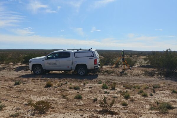
In addition to our land-based capabilities, CobbFendley offers Bathymetric Surveying via both remotely operated vehicles (ROV) and fully rigged outboard boats, both of which are equipped with autonomous sounders linked to RTK GPS, for high-precision sounding depths.
- 3D LiDAR Scanning – Terrestrial, Mobile + Aerial
- Drone Services – Unmanned Aerial System (UAS)
- 4K HD Video, Hi-Res Photogrammetry + Orthoimagery
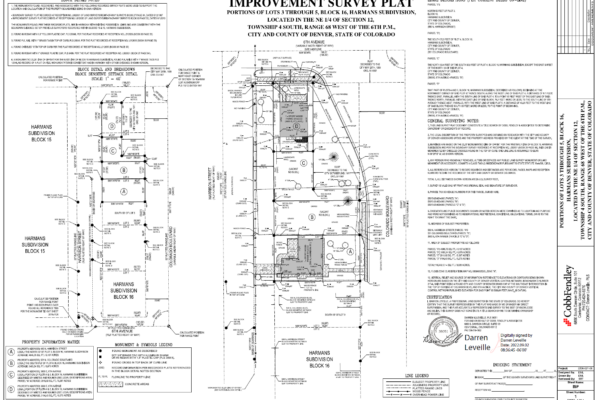
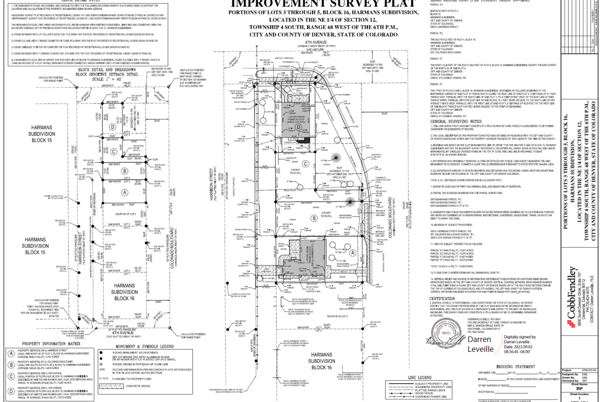
- Boundary Surveys
- ALTA/NSPS Land Title
- General Land Office Surveys (GLO) + Permit Surveys
- Littoral – Coastal Boundaries
- Riparian – Waterfront + Gradient Boundaries
- Right-of-Way Surveying
- Subdivision Platting
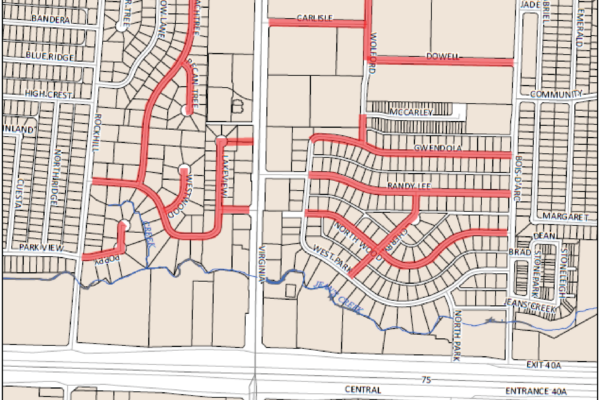
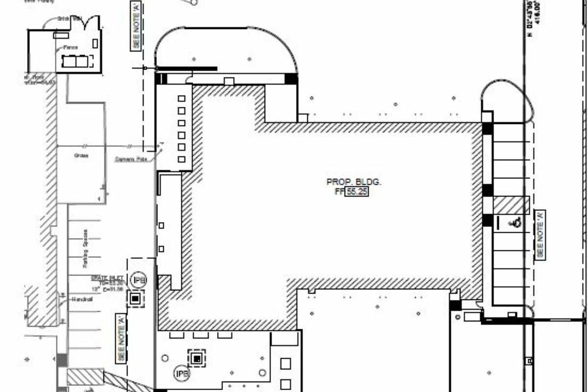
- Topographic Surveys
- Automated Data Collection
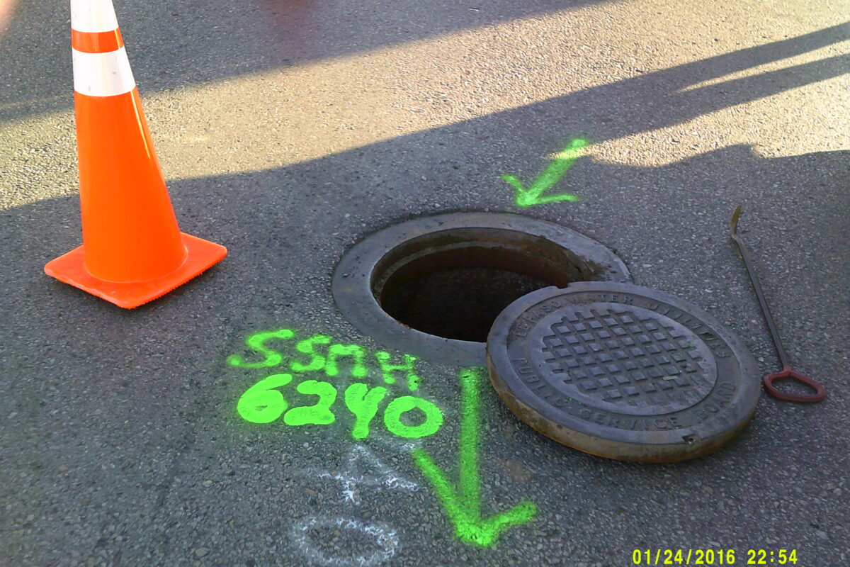
- Utility Research + Location
- Construction Staking
- Bathymetric Surveying
- Horizontal and Vertical Control Networks
- GNSS GPS Capabilities – Static, RTK + RTN/VRS
- Ground Control for Aerial Photogrammetry
- Field Support for GIS Data Collection
- Field Support for Subsurface Utility Engineering (SUE)
Featured Projects


NASA Lease Boundary and Improvement Survey
Bishop Street Improvements

Cornudas Pipeline Easement Acquisition

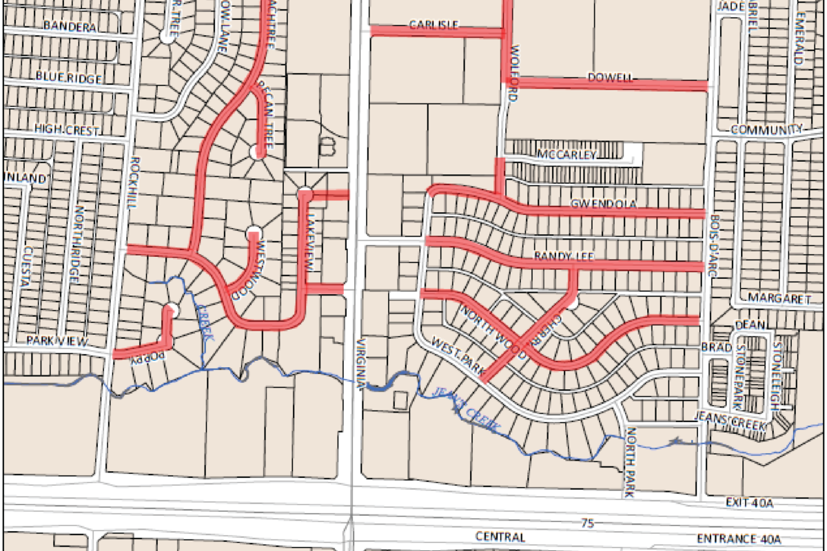
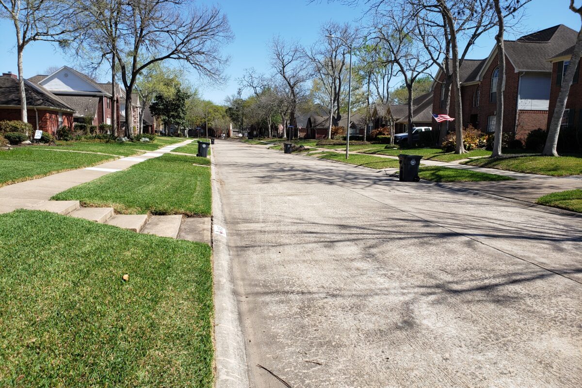
Deer Valley Drive
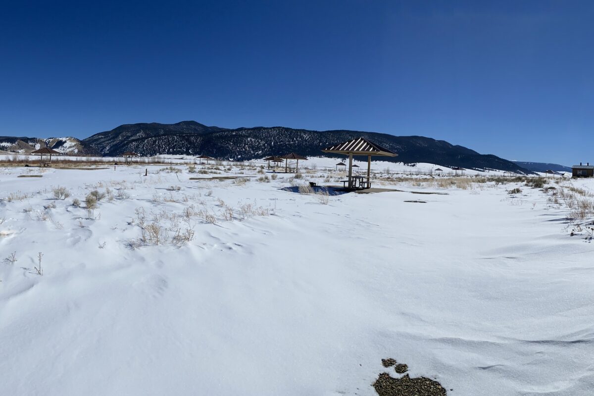
Eagle Nest Lake State Park Campground Improvements
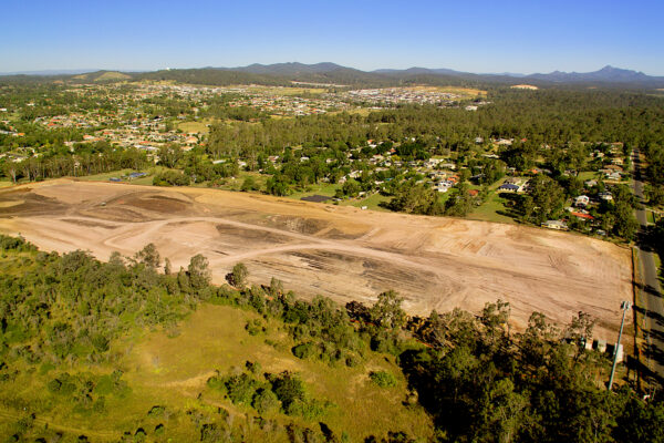
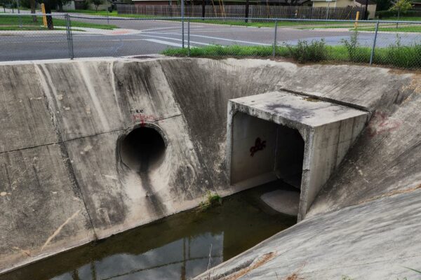
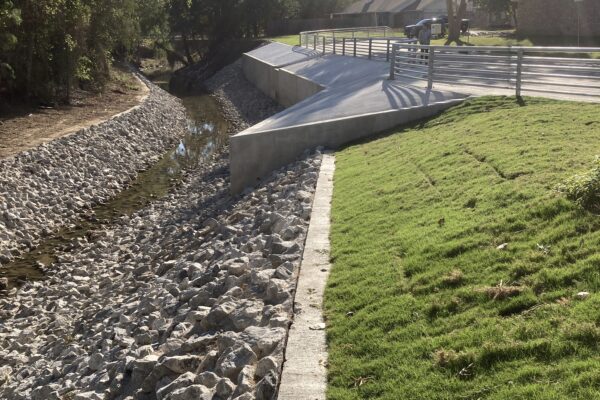
Greatwood Village Drainage Improvements

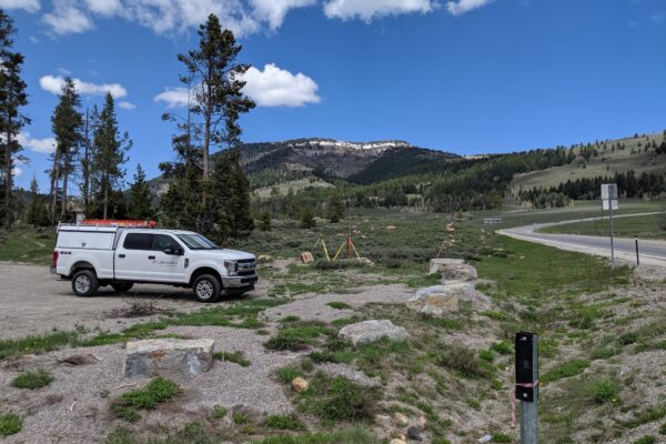
Logan Canyon

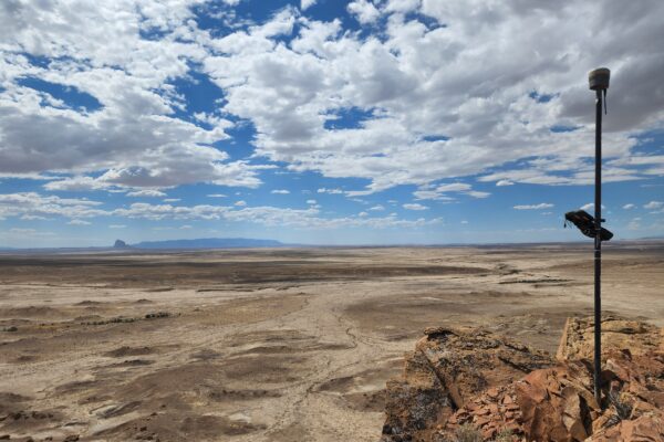
Navajo Easements Renewal
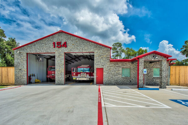
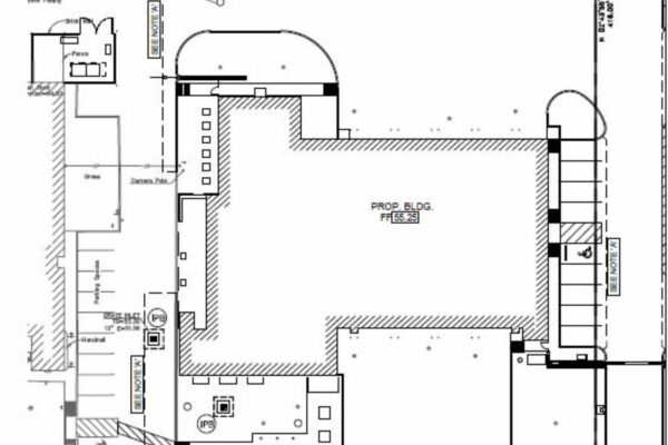
Pearland Fire Station No. 4

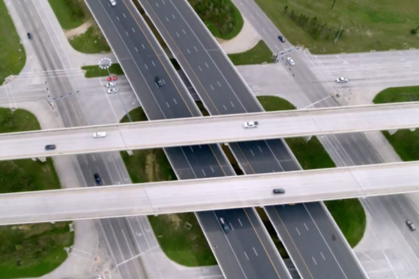
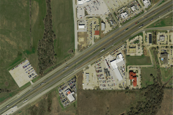
Hawkins Boulevard Design-Build
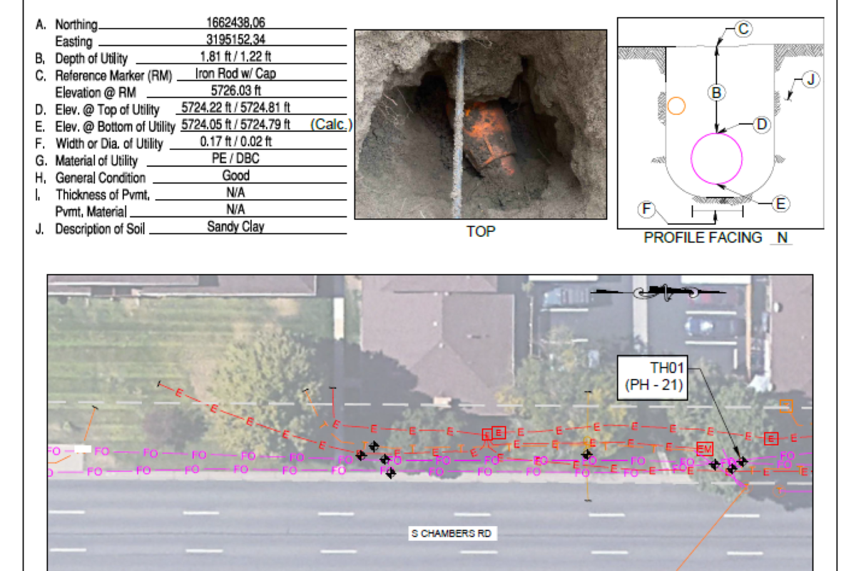
Havana Street Improvements SUE Investigations
Red Raider Foundation, Texas Tech University, South End Zone Project

Sayle Street Reconstruction and Water/Wastewater Lines

Survey Master Services Agreement
21st Street Storm Sewer System Improvements – System 007

Cross Creek Circle Street Improvements
South Street and West Drive Improvements
Road Bond Program Safety Projects