Stormwater GIS Development

Location
- Arlington, Texas
Client
- City of Arlington
Market
Disciplines Provided
The CobbFendley team provided an accurate data inventory after a comprehensive review of historical stormwater records. Records were reviewed, digitized and checked for quality and completeness prior to integration into the City’s existing GIS.
The CobbFendley team provided support and guidance on best practices, and created schema updates and created a new feature class to house extent polygons with attached PDF records; this allowed for simplified access to historical record PDF files and visualization of areas in need of updated survey. A custom field collector application was developed based on schema updates and data collection was coordinated with field crews.
Prior to data delivery, the staging file geodatabase was run through a quality control (QC) tool created in Safe FME to check for both attribute completeness and geometry compliance (no dangles, no self intersections, all lines snapped and network connectivity). In order to support long-term stormwater infrastructure planning and hydraulic modeling, CobbFendley confirmed that all data entered into the system was correctly oriented with flow direction. Project communication and progress was centralized using smartsheet, which allowed for secured transfer of files and centralized conversations. This allowed for project input from GIS, field and City personnel to adjust priorities and update project status. This table was joined with the GIS to create a comprehensive dataset and highlight priority areas.
The final, fully updated GIS data allows the system to fully integrate with the City’s work order system Cartegraph OMS, ITpipes, hydraulic modeling software, and other applications.
Related Projects


Technical Assistance Program

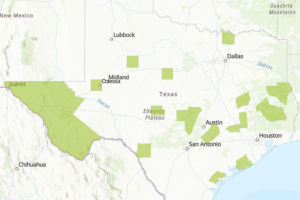
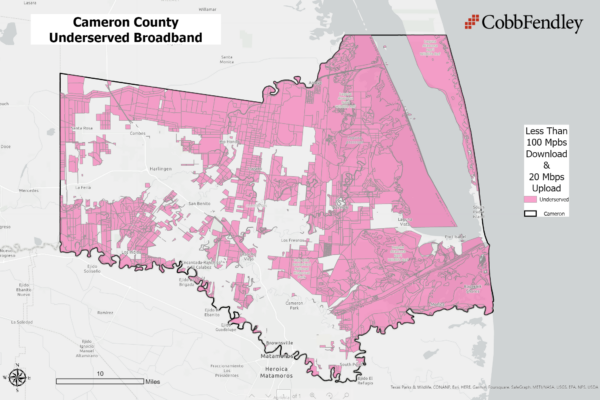
Broadband Access Study and Expansion Plan
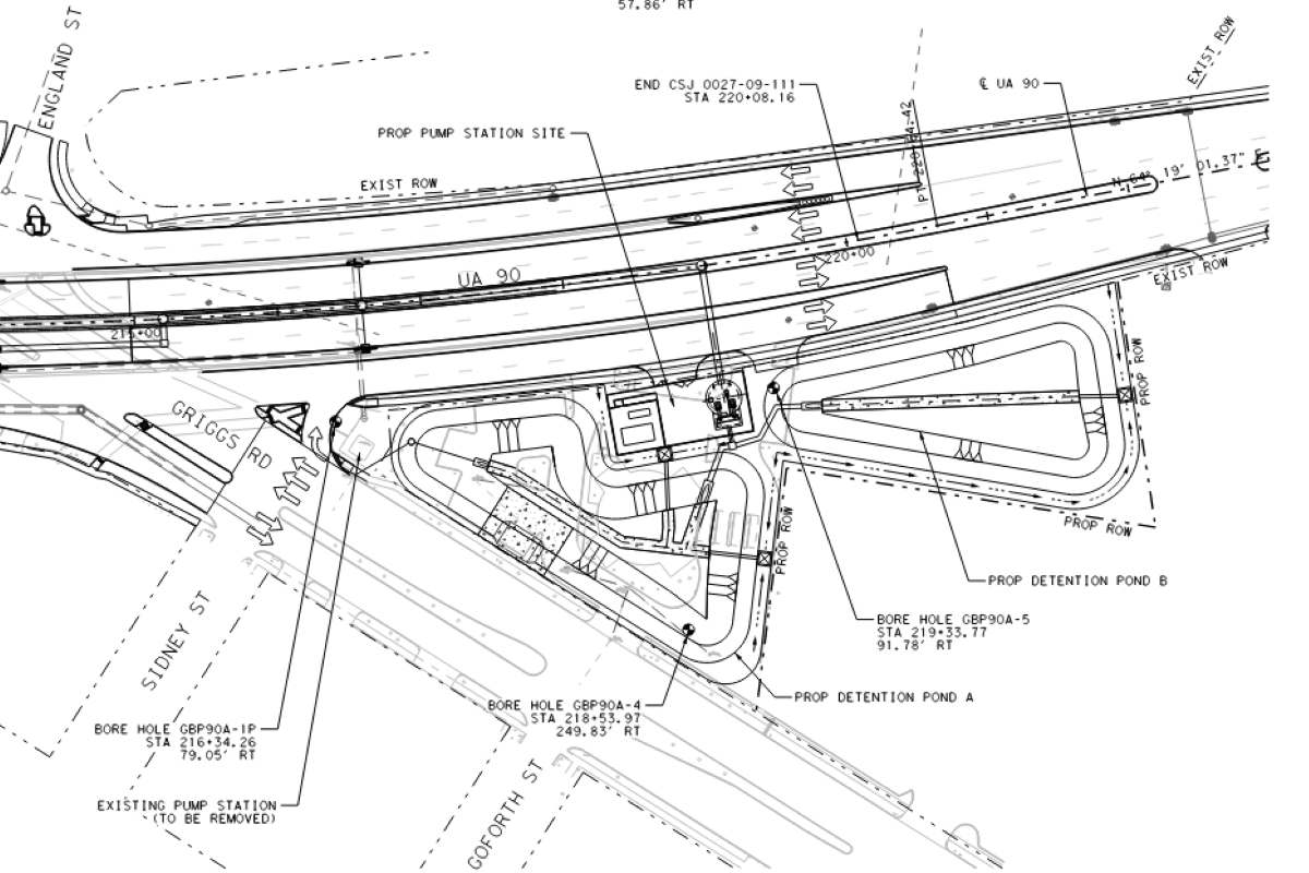
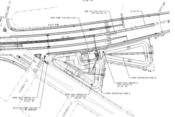
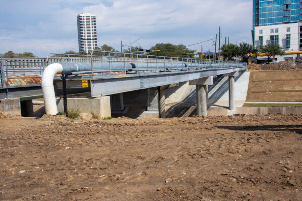
TxDOT Storm Water Pump Stations
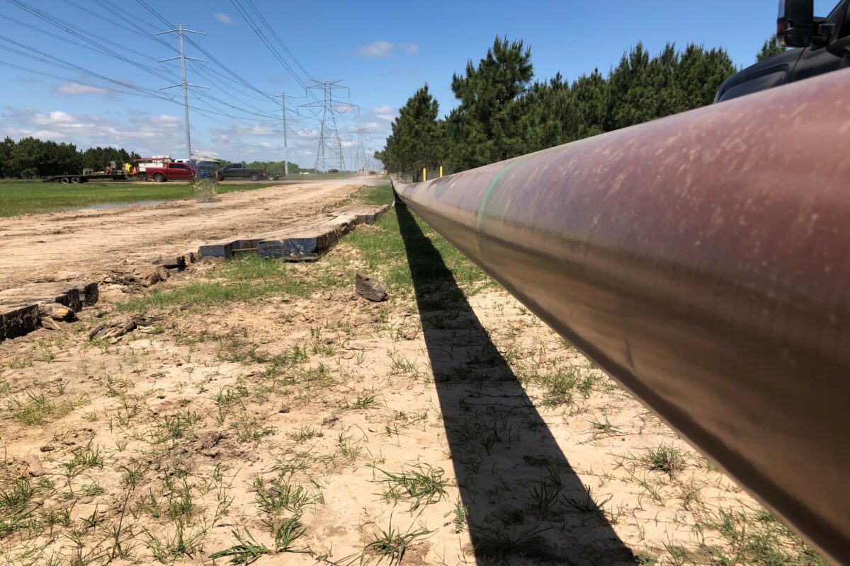
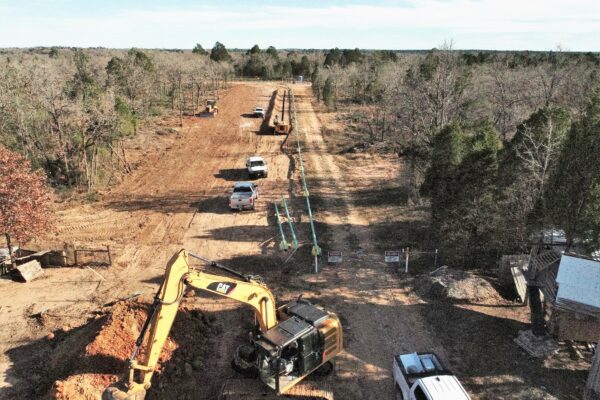
New Pipeline Installation

Pipeline Reconfiguration
