Drainage Master Plan
Location
- El Paso, Texas
Client
- El Paso Airport Authority
Disciplines Provided
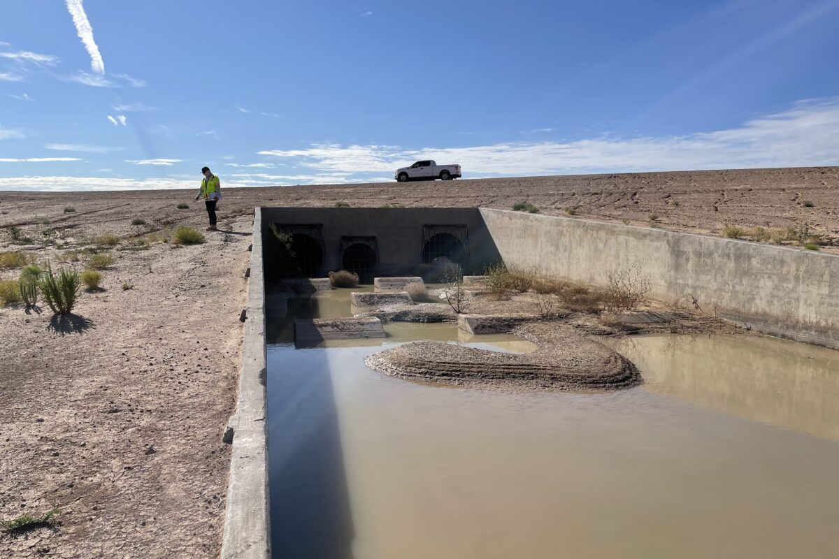
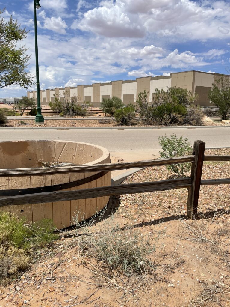
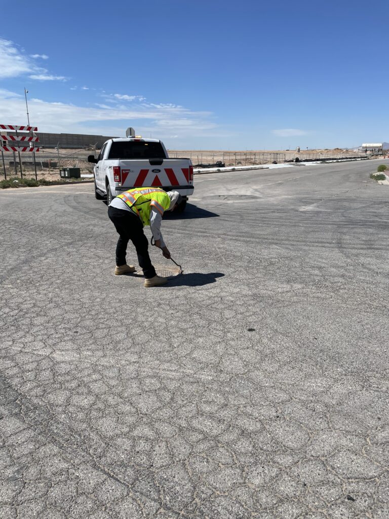
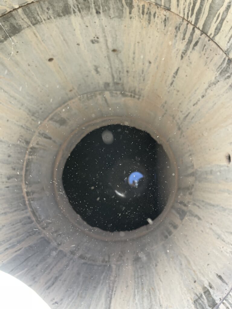
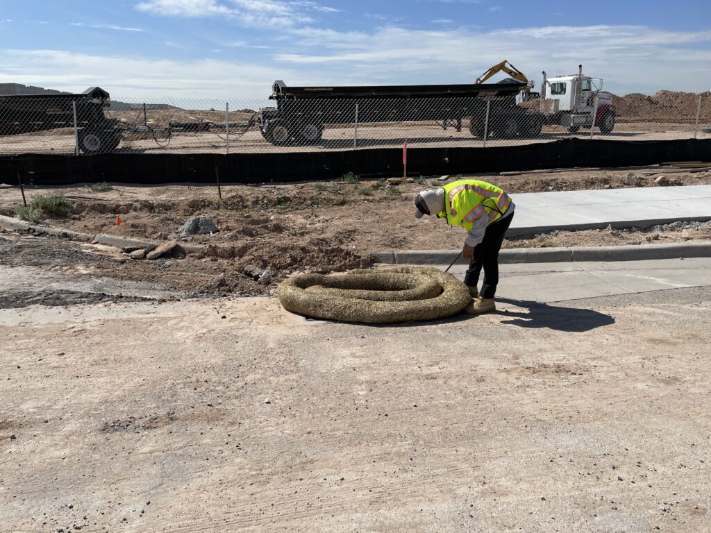
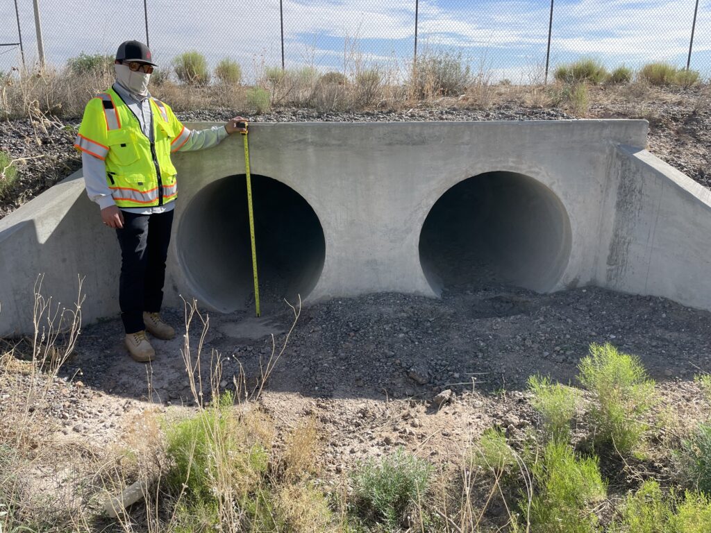
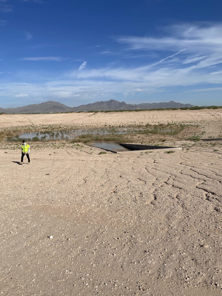
CobbFendley is currently performing analysis to support development of a master drainage plan (MDP) including hydrologic and hydraulic analysis to determine the 10-year to 100-year interval storm frequency flows and volumes for both existing and proposed conditions. This analysis will support conceptual level recommendations to route the stormwater flows to the area adjacent to the south side of Spur 601. The flows will discharge to new ponds or an extension of the existing ponds adjacent to Spur 601. In addition to the MDP, a Conditional Letter of Map Revision (CLOMR) will be prepared and submitted to FEMA with the goal of eventually remapping the existing mapped floodplains. Findings from the analysis, as well as the conceptual recommendations, will be documented in a report.
A one-meter DEM data was obtained from the USGS TNM download website and processed using GIS software to create a two-foot contour interval map of the project area. The USACE Hydraulic Modeling System (HEC-HMS) was used for the analysis. To maintain consistency with a recent FEMA FIS study, CobbFendley applied the initial abstraction and constant rate infiltration rate method to address watershed conditions. CobbFendley followed the The El Paso Drainage Design Manual and all hydrologic analysis is complete.
Bentley’s Open Flows Flow Master and StormCAD computer analysis software will be used to analyze the proposed open channels and storm drain systems. CobbFendley will evaluate three options to address infrastructure build-out requirements that include full relocation of the existing pond within Walter Jones Boulevard/Global Reach/George Perry Boulevard, partial filling of the pond to reduce its footprint, and allowing the pond to be reconfigured to remain but maximize developable area within the parcel. The Federal Highway Administrations (FHA) HY-8 Culvert Analysis Program will be used to analyze any proposed culvert crossings. After completing the analysis and MDP report, a CLOMR will be submitted to FEMA. The CLOMR will include the existing and proposed 100-year floodplain limits.
Related Projects


Technical Assistance Program

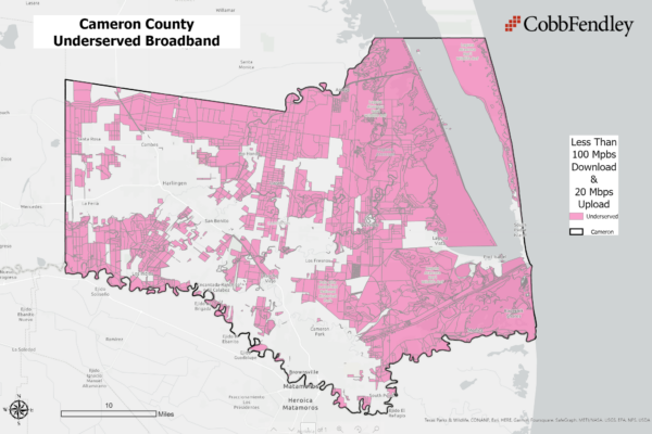
Broadband Access Study and Expansion Plan
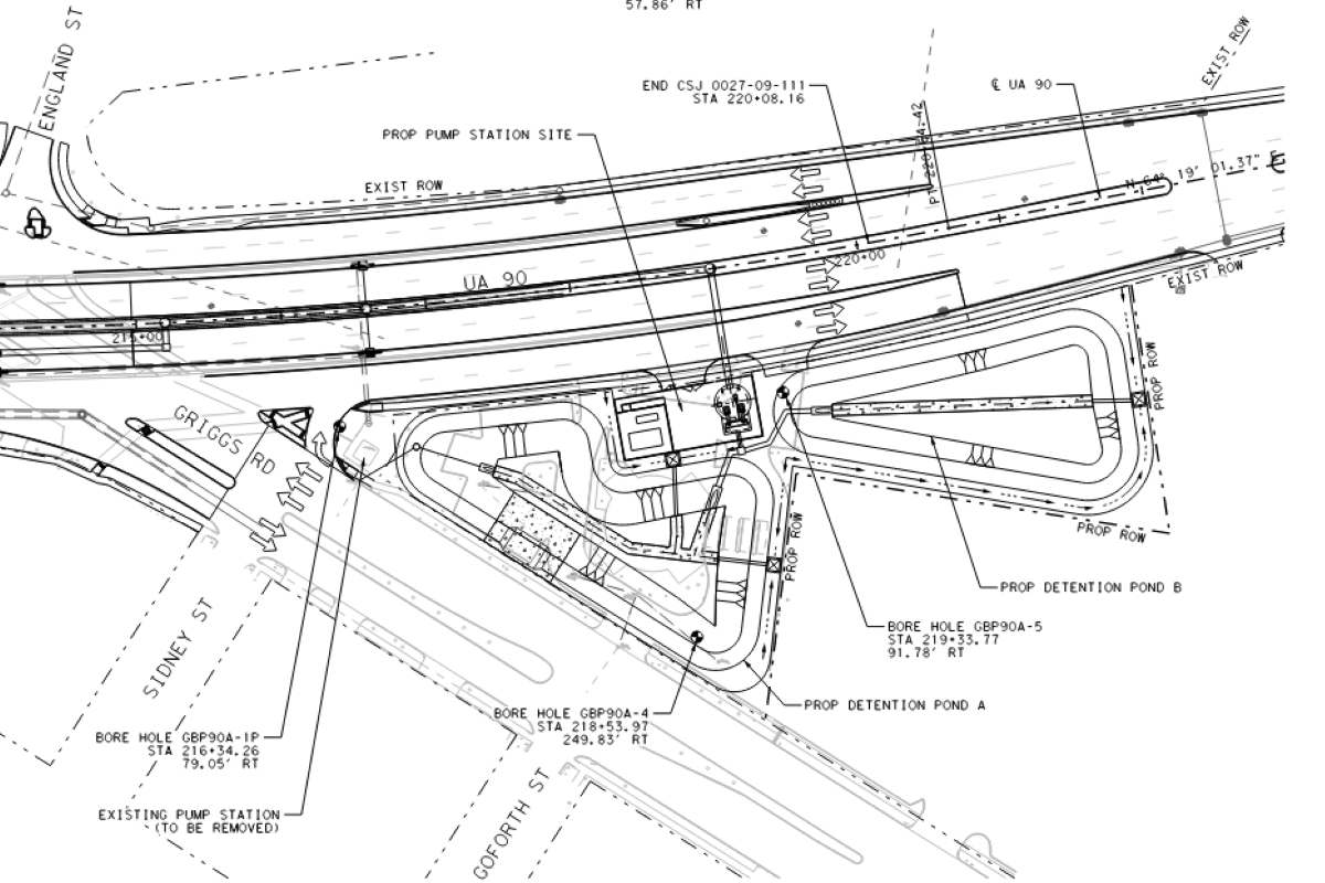
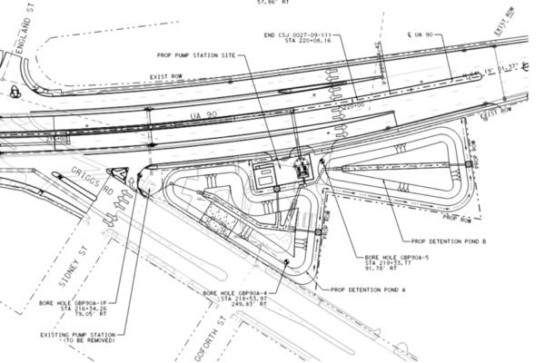
TxDOT Storm Water Pump Stations
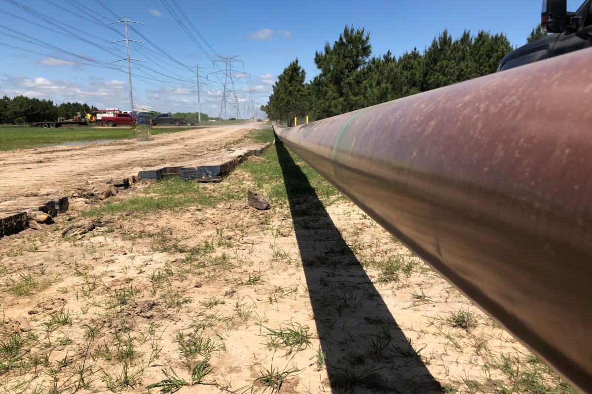
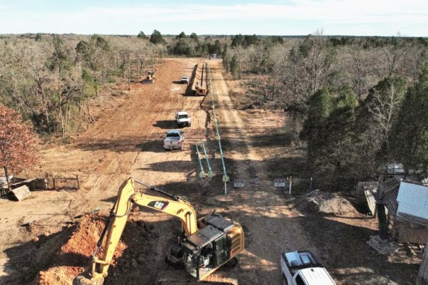
New Pipeline Installation

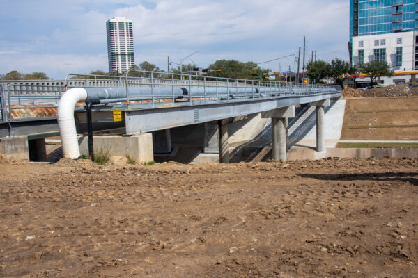
Pipeline Reconfiguration
