Fifth Ward Drainage Master Plan
Location
- Houston, Texas
Client
- City of Houston
Disciplines Provided
CobbFendley performed an Existing Condition Analysis for the drainage systems associated with the area commonly referred to as the Greater Fifth Ward Super Neighborhood near downtown Houston. Under the Capital Improvement Projects program, several areas of concern were identified as drainage concerns or as needing street repairs performed. As such, the City determined these were “Need Areas” and assigned individual project numbers to each.
Drainage studies were performed for each of these Need Areas (M-2013-B01, N-2013L-B01, and N-2014L-B02), but an overall solution was not possible on an individual project basis. As such, this project combines those areas into what is now referred to as the Greater Fifth Ward Drainage Masterplan. As a drainage masterplan, it is now possible to combine the improvements associated with each individual area into a larger, more comprehensive, solution which serves the area with a regional solution, rather than having to obtain additional right-of-way (ROW) in order to have several small detention ponds scattered throughout the region.
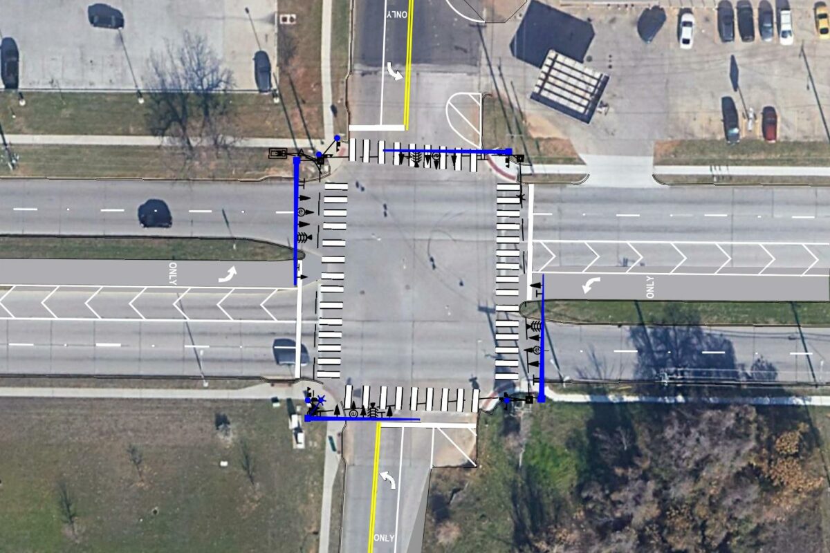
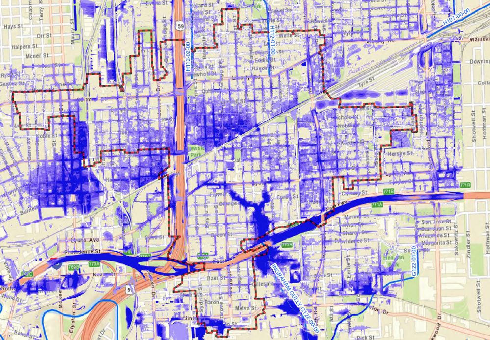
The project location is primarily residential, comprised of single-family homes. The majority of drainage systems in the project location are comprised of concrete curb and gutter streets with underground storm sewer systems, but there are also a few areas with asphalt streets and roadside ditches. Buffalo Bayou (HCFCD Unit# W100-00-00) serves as the primary outfall location at 3 different locations. Analysis of the existing storm sewer systems and roadside ditches (where applicable) indicated the majority of the existing drainage infrastructure within the project area is undersized and does not have adequate capacity to convey the 2-year Atlas 14 rainfall event to the outfall locations, resulting in significant street ponding in areas.
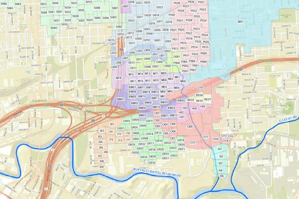
CobbFendley followed the July 2019 City of Houston Infrastructure Design Manual for the hydrologic analysis. The total study area is comprised of approximately 1,309 acres. Newly obtained LiDAR data for this project location was utilized to study the overland terrain allowing for identification of sheetflow patterns in order to determine drainage area boundaries. To perform hydrologic calculations, the rational method was used to calculate peak flow rates for the 2-, 10-, 100-, and 500-year Atlas-14 rainfall event using City of Houston Time of Concentration calculation. The calculated rational method drainage area peak flows were used to calibrate the flows for each rainfall event which were generated within runoff mode of the XP-SWMM model.
CobbFendley created XP-SWMM models for the 2-, 10-, and 100-year rainfall events to simulate conveyance through interconnected drainage systems within the Greater Fifth Ward area. This XP-SWMM models are comprehensive models which allow interconnection of all drainage systems (roadside ditches, culverts, storm sewer trunks) with Buffalo Bayou as the primary outfall location. The drainage system network was created by utilizing collected survey data, City of Houston GIMS data, and as-built plan sets. CobbFendley collected topographic survey data through the use of a new LiDAR data set with detailed high definition points to identify overland terrain as well as cross sectional roadside ditch details. The outfall boundary condition for the XP-SWMM model utilized rating curves to establish the backwater effect on the drainage system at each outfall location. The rating curves utilize established water surface elevations for the various rainfall events with respect to expected flows for each event.
Related Projects

Technical Assistance Program

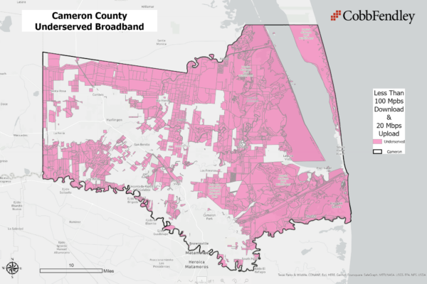
Broadband Access Study and Expansion Plan
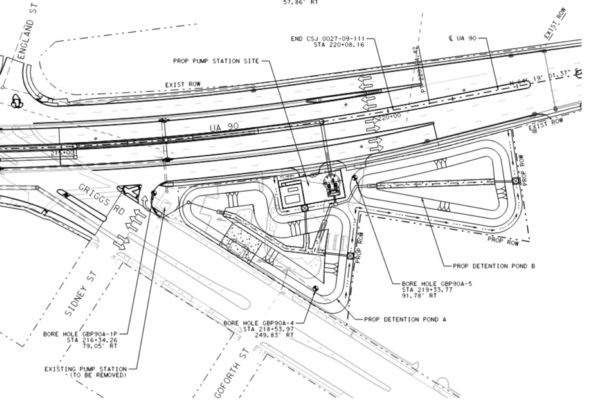
TxDOT Storm Water Pump Stations
City of Sugar Land School Studies
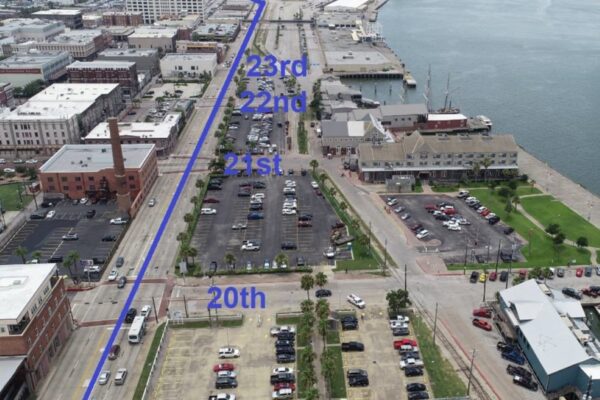
Harborside Drive Traffic Study