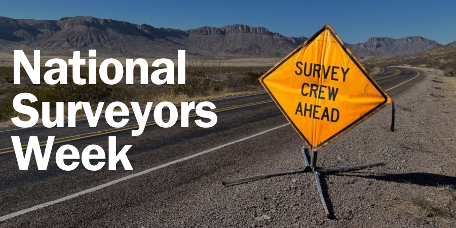
Surveyors Week: How CobbFendley Uses Advanced Technology to Deliver Precise Survey Solutions
Surveyors play a critical role in every successful project, from defining property boundaries to capturing the data that engineers, designers, and builders rely on.
During Surveyors Week, we are highlighting the innovative technology and equipment our team uses to deliver accurate, efficient, and reliable results for our clients.
What types of survey technology are currently in use?
At CobbFendley, we utilize a full spectrum of modern geospatial technologies that allow us to collect highly precise data across a wide variety of environments and project types.
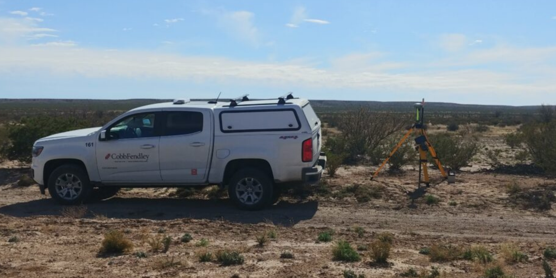
On the positioning side, we use GNSS/GPS equipment, including static, real-time kinematic (RTK) and post-processed kinematic (PPK) solutions, for high-accuracy ground control and boundary surveys.
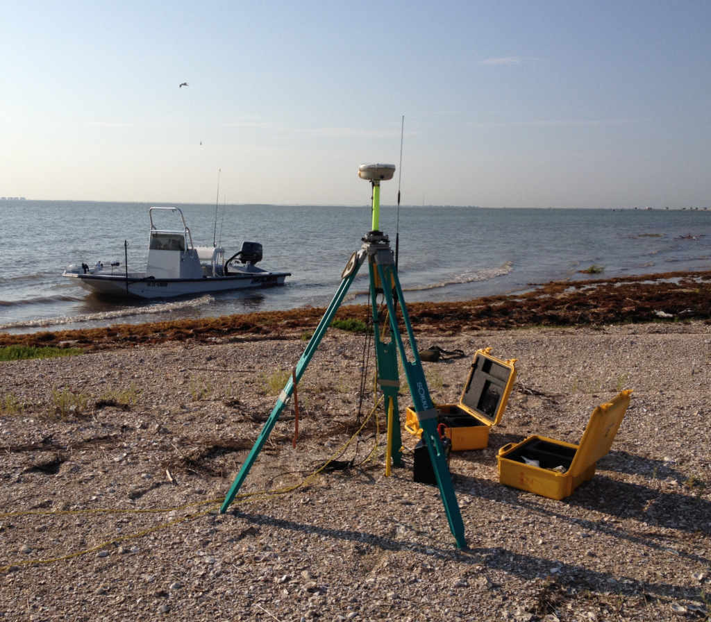
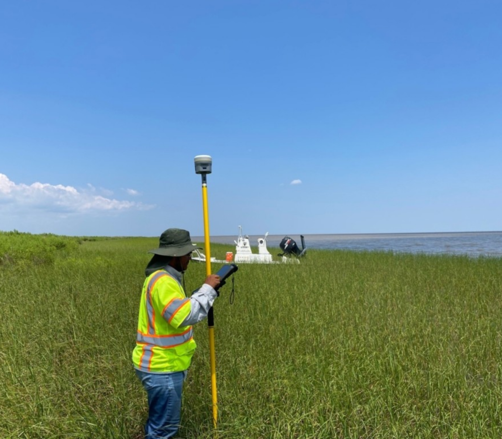
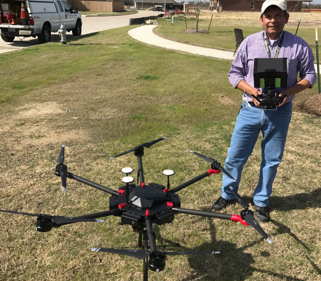
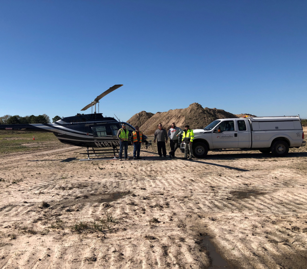
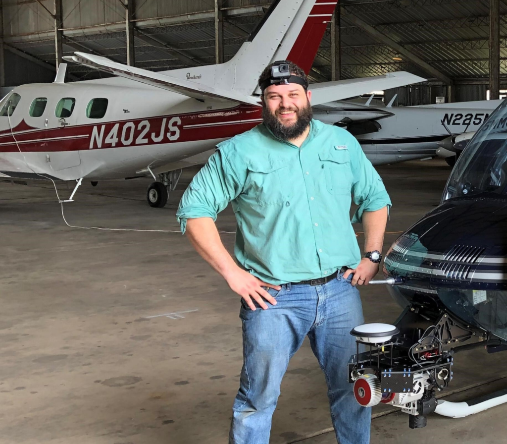
For 3D data capture, we deploy lidar across multiple platforms: aerial lidar mounted on a helicopter for large corridor and topographic projects, truck-mounted mobile lidar for roadway and infrastructure surveys, and terrestrial lidar scanners for structures, bridges, and buildings. We operate a fleet of UAVs (drones) equipped with both photogrammetric cameras and lidar payloads for projects where rapid, flexible mobilization is an advantage. We also employ single- and multi-beam echosounders to capture bathymetric data for shallow water hydrographic surveys. Robotic total stations are automated surveying instruments that can be operated remotely by a single operator.
How does this equipment improve accuracy and efficiency compared to traditional methods?
Compared to traditional surveying techniques that relied heavily on manual measurements and slower data collection processes, modern equipment significantly improves both data density and operational efficiency. Survey utilizes data collectors (rugged, handheld computers) that can be utilized across multiple platforms for continuity. These data collectors have automated measurement tools to minimize human error, quality control settings, and aerial maps for visual reference.
- GNSS enable surveyors to establish precise control points rapidly without extensive traversing.
- Aerial lidar and/or imagery can collect millions of measurements per second, allowing entire corridors, construction sites, or landscapes to be captured in a fraction of the time required with conventional point-by-point methods.
- Mobile lidar allows roadway mapping at highway speeds without lane closures, reducing both project timelines and safety exposure for field crews.
- Terrestrial scanners can fully document a complex structure in hours rather than days.
- Drone-based mapping further increases efficiency by covering large areas quickly while minimizing the need for personnel to physically access hazardous or difficult terrain. These technologies produce high-resolution spatial datasets that provide a far more complete picture of existing conditions, reducing rework and improving overall project outcomes.
- Robotic total stations improve field efficiency by measuring and tracking targets more quickly while maintaining high accuracy. Automation also reduces reliance on manual input, helping to minimize human error.
New survey technology allows us to complete data acquisition faster along with quicker timelines from field-to-finish.
What training is required to operate this equipment effectively?
Operating surveying equipment properly requires a combination of technical training, field experience, and data-processing expertise. The training requirements vary by platform and complexity. Manufacturer-specific training on equipment setup, calibration, and QA/QC workflows are the bare minimum. Beyond technical skills, surveyors must understand survey principles, error propagation, geodesy, and field safety protocols to ensure the data collected meets required accuracy standards. Drone operations require FAA Part 107 certification for all remote pilots. Lidar and imaging systems, particularly airborne platforms, require significant training in flight planning, sensor calibration, boresight alignment, and point cloud processing. For more specialized work, credentials like the ASPRS Certified Mapping Scientist add a rigorous standard for quality in geospatial data.

Training for emerging geospatial technologies/concepts involves committing to continuous professional development and proactive research. Since these concepts and technologies are new to the industry, we as survey professionals must continually commit time to learning and fully understanding the tools and methods we use.
To support staff development, the CobbFendley Geospatial Department has compiled resources to help employees become well-rounded professionals and achieve required certifications. These resources are easily accessible to all employees, providing valuable information on pathways to licensure, education requirements, exam policies, study strategies, essential tools for success, and company-supported benefits.
How does equipment selection vary based on region, terrain, or project type?
Survey equipment is often selected based on project requirements, environmental conditions, and the type of data needed; however, most survey equipment is built to withstand use in various regions. Experienced surveyors know how to mitigate the effects of cold, heat, humidity, and dusty climates on their equipment. At times, we also utilize our strategic partners who bring deeper regional expertise and specialized capabilities.
GNSS-based methods are highly effective in open areas where satellite signals are unobstructed, but in dense urban environments or heavily wooded regions, we may rely more on total stations or terrestrial lidar scanning. For large, open terrain aerial lidar and/or photogrammetry offers the best combination of coverage speed and accuracy. For roadway mapping mobile lidar excels because it captures the built environment at street level with rich detail that aerial platforms can miss. Terrestrial scanning is our go-to for structures, bridges, or projects requiring as-built documentation of complex geometry. In mountainous or forested regions, canopy penetration of the lidar pulse becomes critical, so we factor in scan density and wavelength when selecting sensors. Regulatory considerations also play a role in airspace restrictions, environmental sensitivities, and proximity to airports can influence whether we use a manned aircraft, a UAS, or ground-based methods entirely. Ultimately, the most effective projects often combine multiple technologies, using each platform where it performs best and integrating the data into a unified deliverable.
Equipment in Action
We recently completed a project for the Harris County Engineering Department on the Atascocita Sports Complex that involved UAV aerial lidar collection for a site of approximately 670-acres.
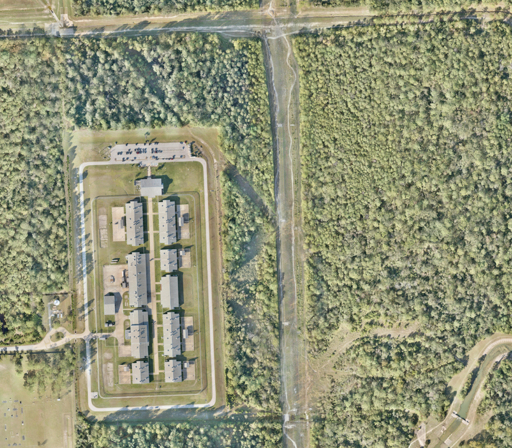
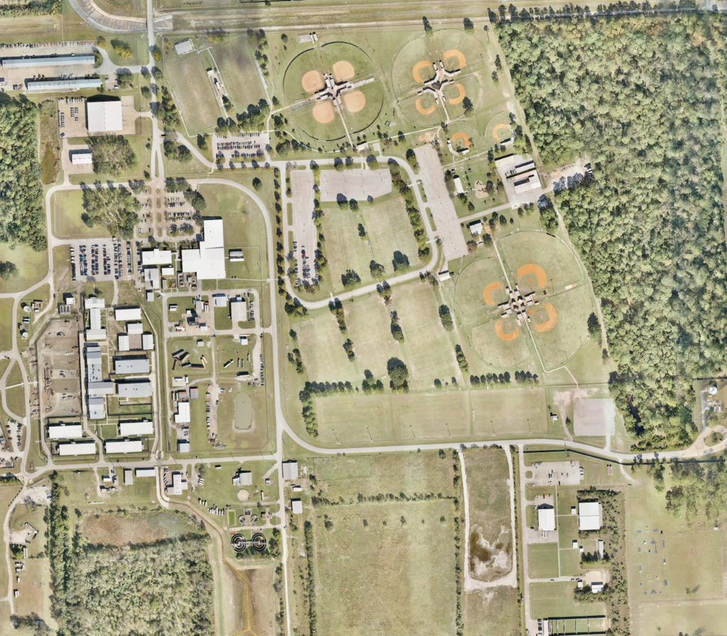
Due to the site’s proximity to high-security facilities, including the Harris County Sheriff’s Office Academy and a State Jail/Transfer Unit, the project required stringent security protocols and precise flight planning. It was an interesting project due to the logistics of acquiring approval to access sensitive airspace. Communication and coordination were key factors that helped us deliver a high-accuracy dataset quickly without compromising any facility security.

Advancements in surveying technology are transforming the way data is collected, analyzed, and applied throughout the project lifecycle. By combining modern tools with experienced professionals, CobbFendley continues to deliver accurate, reliable information that supports smarter planning and successful project outcomes.